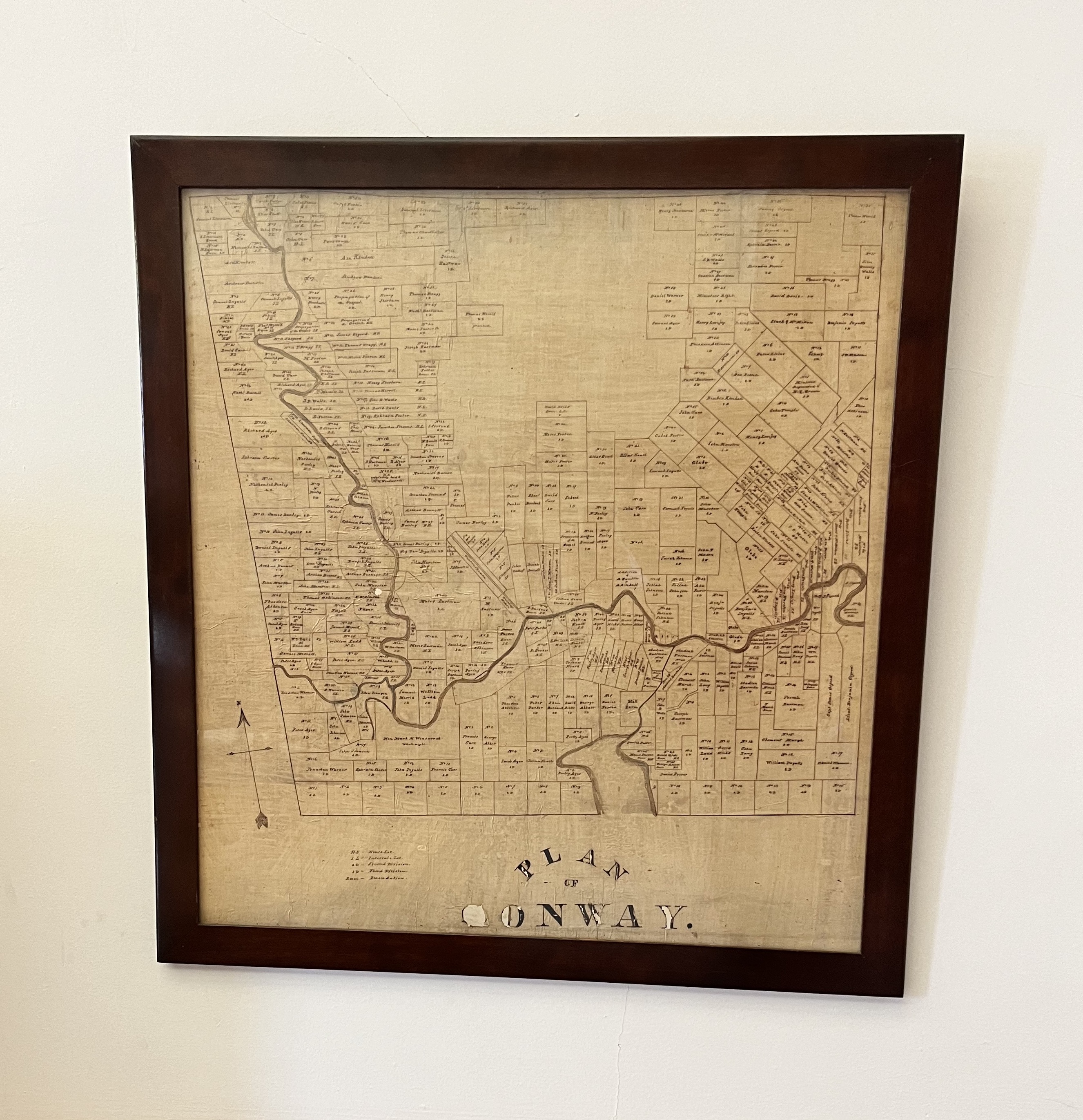
Photograph of the “Plan of Conway” done on linen
As you enter the Reading Room, if you turn right, just before the small alcove that abuts the room, you’ll likely notice the framed map dubbed the “Plan of Conway”. It’s intriguing to say the least! Surprisingly, there is no visible date on the depiction, and as I initially found myself inspecting it, I had more questions than answers. That’s where Bob Cottrell, the curator of the library’s Henney History Room, came in! Here is what I learned about this unique piece from him…
The map itself is written in iron gall ink (What is this, you ask? You can learn more about it from this article from the American Philosophical Society) upon linen. And while we can’t see the date of its creation, it is suspected that it was drawn up sometime during the early 1800’s.
In his blog post, Spirits of Meeting House Hill, Bob Cottrell shares a photo of this map and explains, “Even a quick cursory view shows that Conway was originally conceived of as a square with sides of six miles each. Natural features on this map include the Saco River, Conway Lake and the open area north of the center represents the location of Green Mountains. A detail of the center section shows lots laid out for the the “Centre Square,” or Town Green and the Meeting House, our first Church.”
You might also notice that the lots located in the upper east side of the map are much larger than many of the other lots found within the town during this period. That’s because those lots were most likely used solely as farmland. The much narrower lots (called “long lots”) found along the rivers were designated as such to give the landowners with livestock access to water for their animals (to read more about the development of long lots, this article through Michigan State University provides a lot of insight).
That large empty space in the upper center of the map, which Bob noted in his blog post as the “Green Mountains” (now known as Cranmore), was accessible to all residents of the town for use of its resources by way of individual parcels of land imparted through “common rights”.
When it came time for Harvey Dow Gibson to make his vision of Cranmore Mountain a reality – over a hundred years after this map was produced – he had to pay out all the parcel owners who maintained the rights to the resources held within those plots of land. The history of Cranmore Mountain Resort is an intriguing one, and if you would like to learn more about it, this article by North Conway Realty, and this timeline established on Cranmore’s website, offer more details.
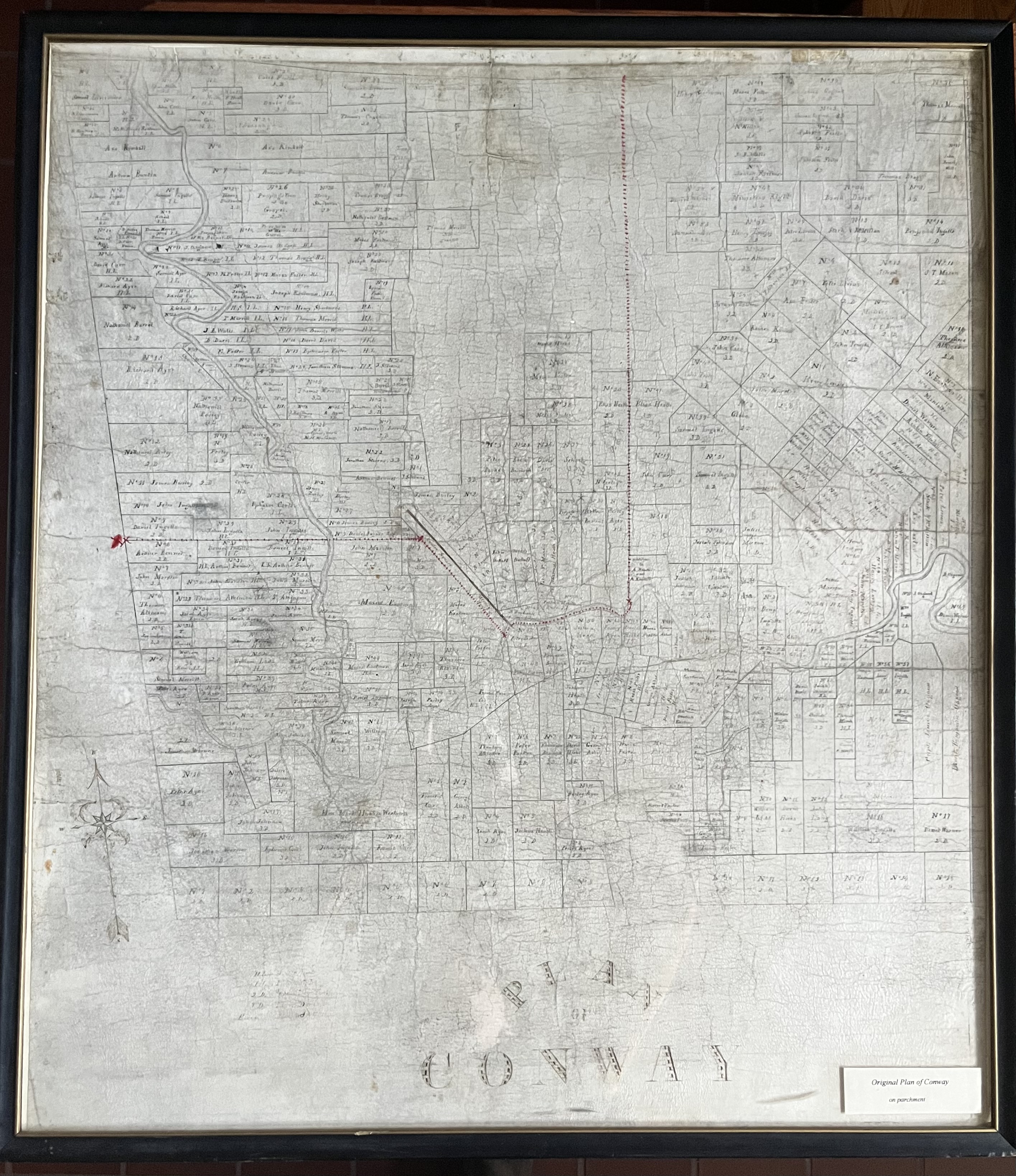
Interestingly, there is another copy of the “Plan of Conway” – this one printed on parchment – that can be found in the Henney History Room (see picture below).

Photograph of the “Plan of Conway” done on parchment
